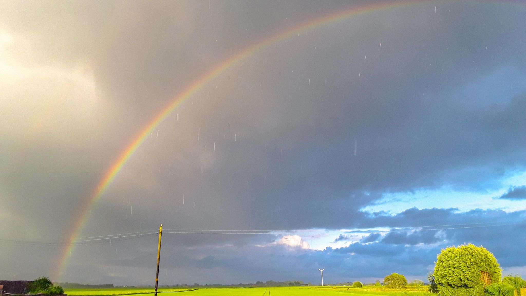
The rain has been relentless again at times this week.
Believe it or not, at the start of the week we were looking at May rainfall statistics pretty much at or below the monthly average for many parts of the UK. It was also the warmest first half of May on record.
Wednesday’s rain changed all that . As a deep area of low pressure trundled north-westwards across the UK, once again the rain gauges filled and roads and rivers flooded.
Some spots, including Rhyl in Denbighshire, Keswick and Carlisle in Cumbria and Loftus in North Yorkshire recorded over a month’s worth of rain in less than 24 hours.
All this, of course, follows on from the never-ending stream of soggy headlines detailing the wetter than average spring, a dull and wet April, and the second wettest six-month period on record for England between October and March.
A barbecue bank holiday or a weekend washout?
It will probably be a bit of both. No two days or places will look the same weather-wise and weather apps may struggle to pin down the showers towards the latter part of the weekend.
The good news is the ground will have had a chance to dry out on Thursday and Friday as the weather system responsible for Wednesday’s deluge fizzles away. This will also bring welcome cheer, of course, to anyone hitting the roads.
Saturday looks more reliably dry with warm sunny spells, although it could turn cloudy and drizzly later in the day for south-west England, western Wales and Northern Ireland as a new weather front approaches.

Thundery showers
With low pressure close by, we are expecting some thundery showers to spark off on Sunday and bank holiday Monday.
These showers could pop up almost anywhere, and with light winds and extra energy from daytime heating they could be torrential and slow-moving.
If you get a shower you will certainly know about it and are likely to spot the cloud building in advance. It’s a game of chance.
For many of us it will stay dry and sunny and you could be be completely oblivious to torrential downpours happening just a mile or so away. In the best of the sunshine, temperatures will once again climb a little above the average for the time of year.
This video can not be played
To play this video you need to enable JavaScript in your browser.
Further ahead: Late spring warmth
Meteorological spring continues for another week and it looks as if temperatures will climb a little further after Monday.
The general outlook is that we will keep a south-westerly wind and that it will become warmer but stay changeable. There is still some uncertainty which areas of the UK will see prolonged wet weather, if any.
Currently the first half of June, which marks the beginning of meteorological summer, looks warmer and drier in the south, more changeable and windy in the north.
While the Met Office predicts that wetter weather will be a feature of our changing climate in the UK, summers will actually get drier overall – with more heatwaves and droughts – but when rain does come it will be heavier, 20% more intense than it was in 1990.
The most violent downpours – more than 30mm of rain in an hour – are expected to occur twice as often as they used to.
This means the increased risk of flooding, with ground becoming saturated by persistent winter rainfall and drainage systems overwhelmed by summer deluges.
For the latest forecast – rain or shine – check BBC Weather online or our app.


